MAPPING THE UNDERGROUND RAILROAD AT BOWNE HOUSE: FLUSHING AND BEYOND

BOWNE HOUSE STORYMAPS: A PREVIEW
PROJECT CURRENTLY UNDER DEVELOPMENT, COURTESY OF A NATIONAL UNDERGROUND RAILROAD NETWORK TO FREEDOM GRANT FROM THE ASSOCIATION FOR THE STUDY OF AFRICAN AMERICAN LIFE AND HISTORY
In 2021, Bowne House was inducted into the National Park Service’s Network to Freedom, which recognizes sites and cultural institutions with documented ties to the Underground Railroad. Following its construction in 1661 by John Bowne, a Quaker known for his defense of religious freedom, Bowne House was home to nine generations of a family that came to include abolitionists, Underground Railroad operatives, and founders of Black schools. Over the course of its 350-year history, it also housed a number of African-American residents, both enslaved and free. Today, as a museum we seek to place the site in a larger context and deepen our understanding of the journeys undertaken by the freedom-seekers who passed through Flushing and of the African-American community active in Flushing at that time.
With the aid of a Network to Freedom grant, we are currently in the process of conducting research and curating interactive, multimedia StoryMaps using the ArcGIS geospatial mapping software platform. Here, to mark Juneteenth, we present a brief preview of the project, which we hope to launch live soon.
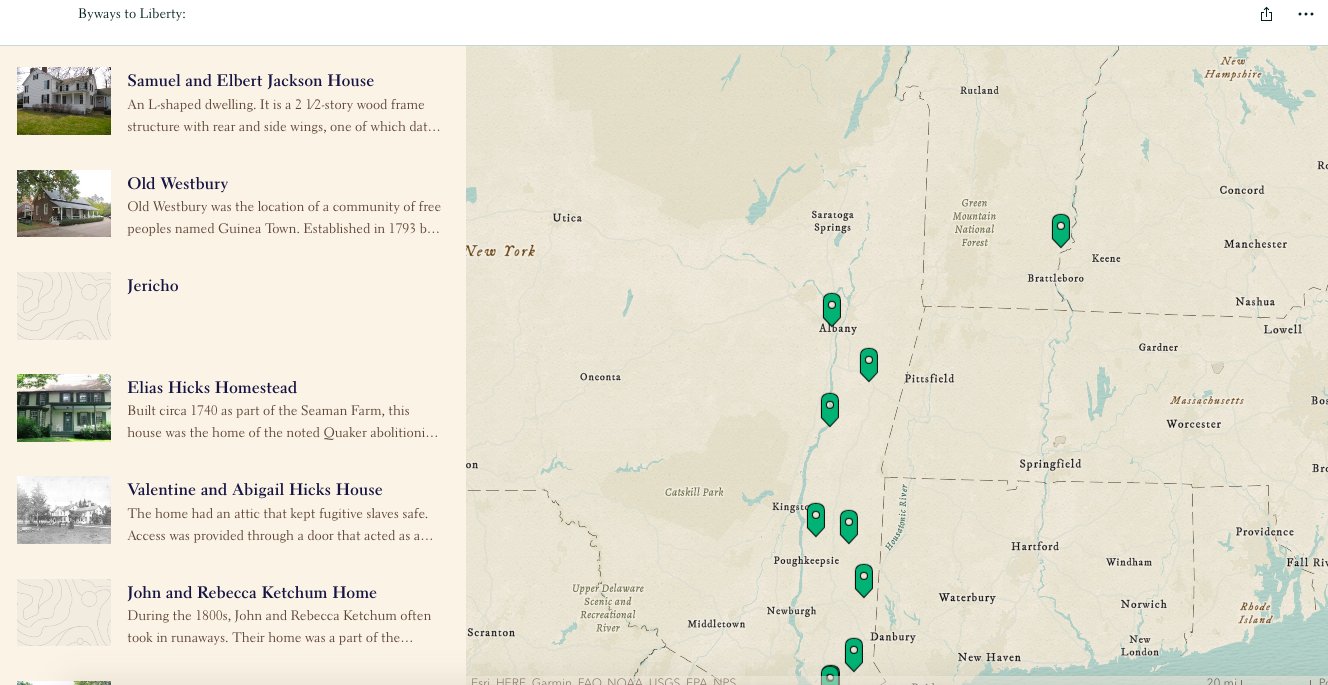
BYWAYS TO LIBERTY
“Byways to Liberty” depicts a network of Underground Railroad sites, including Quaker homes and free Black communities, that freedom-seekers may have passed through after leaving Flushing. Scroll down the gallery below to see a few of the views and features:
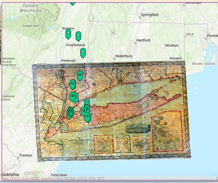
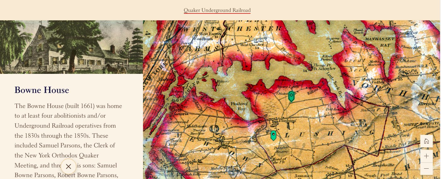
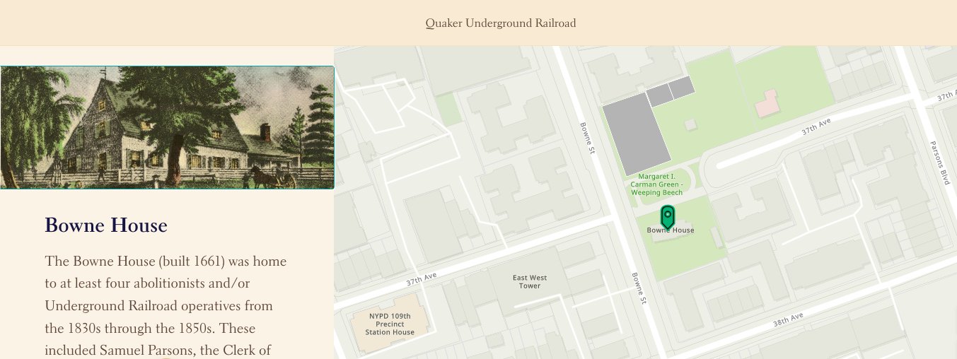
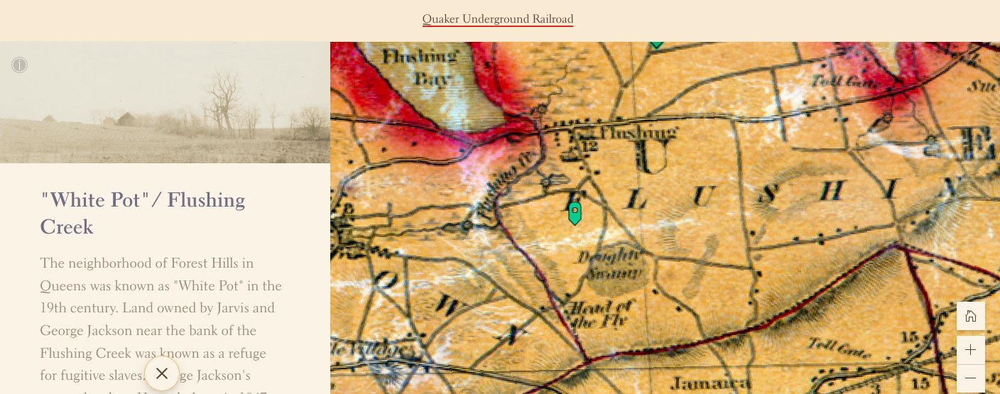
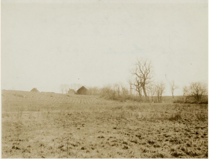
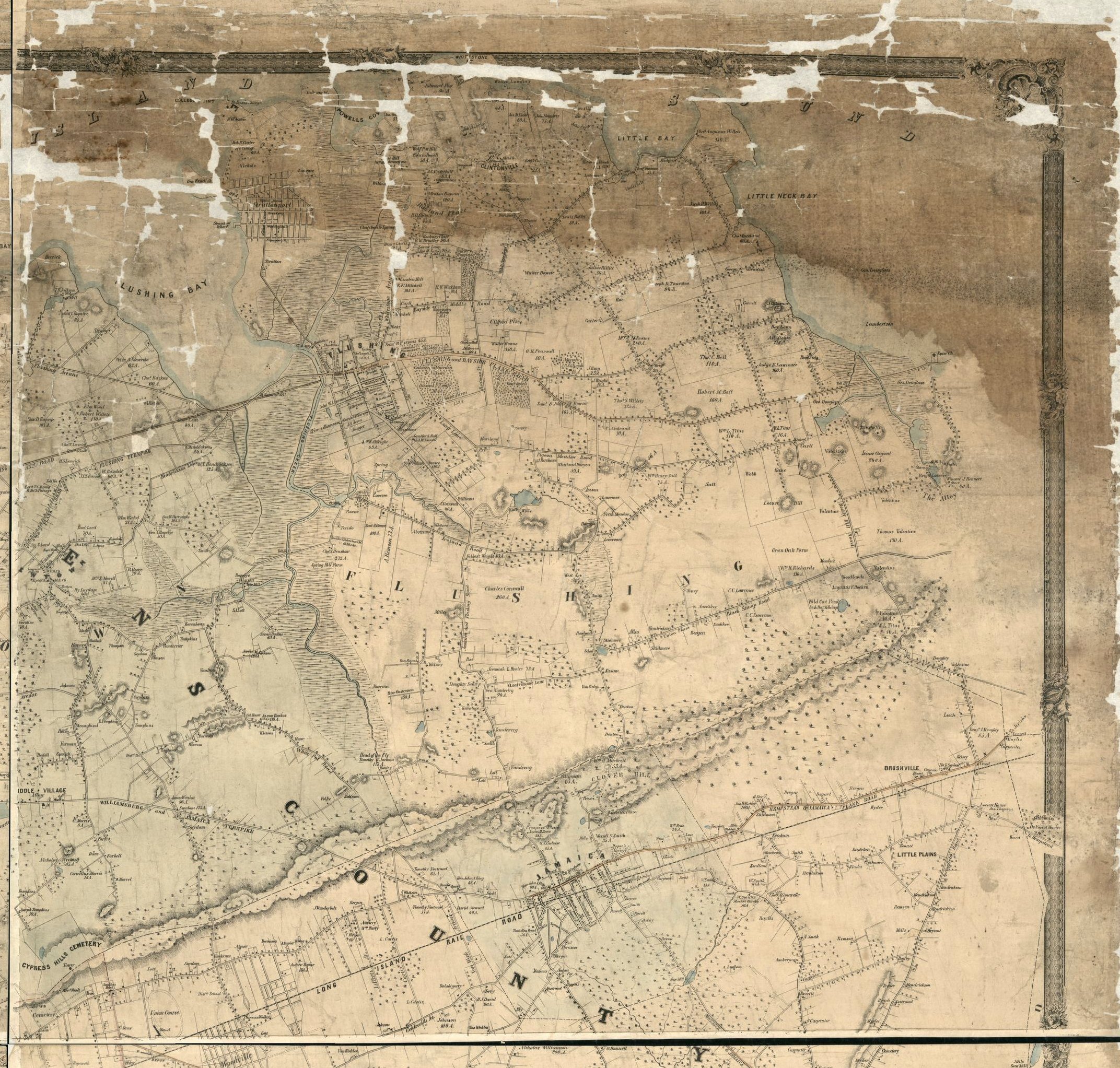
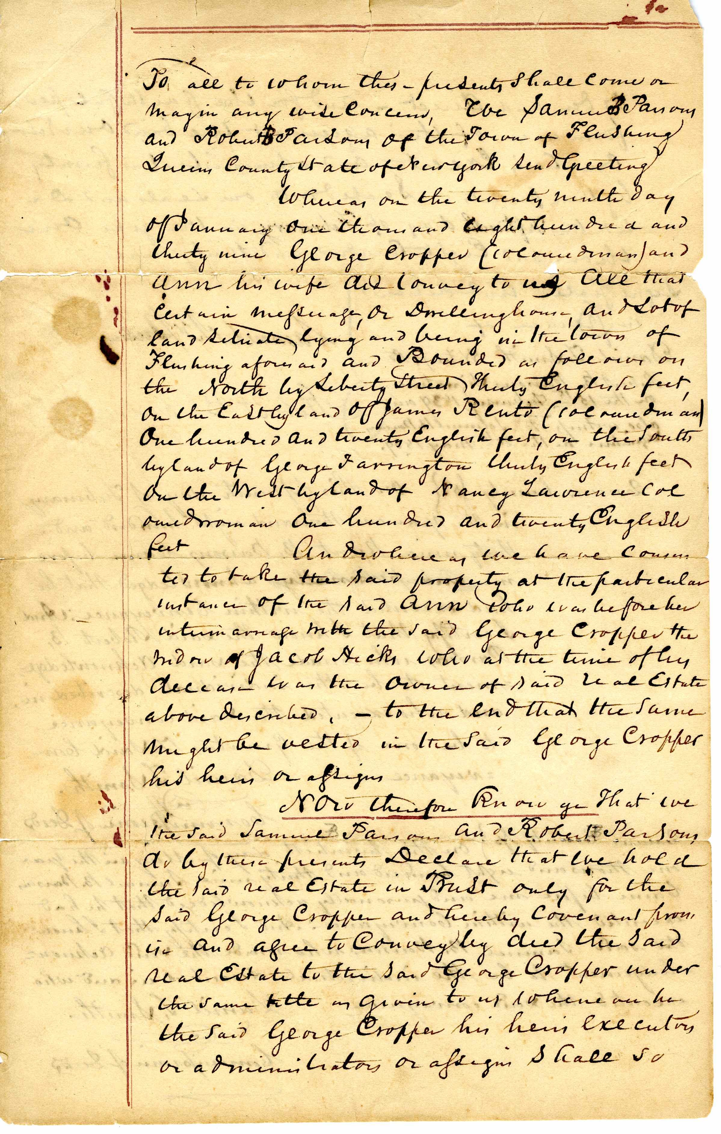
As we flesh out this StoryMap, we will add more sites and different networks. Using the ArcGIS software platform, we can attach historic photographs, oral histories, documents, and interpretive text to each site. We can also overlay historic maps onto the present-day landscape to illustrate the terrain that 19th-century freedom-seekers traversed during their perilous escapes, as seen below. Scroll down the gallery below to see examples:
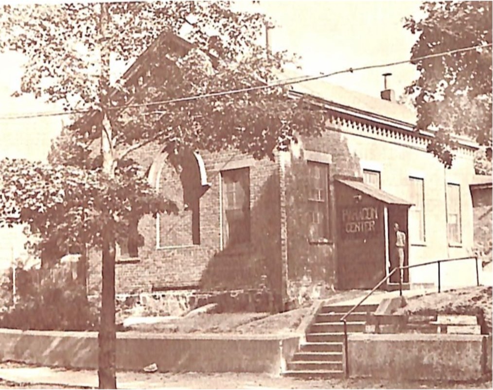
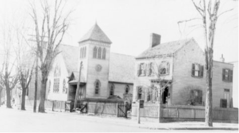
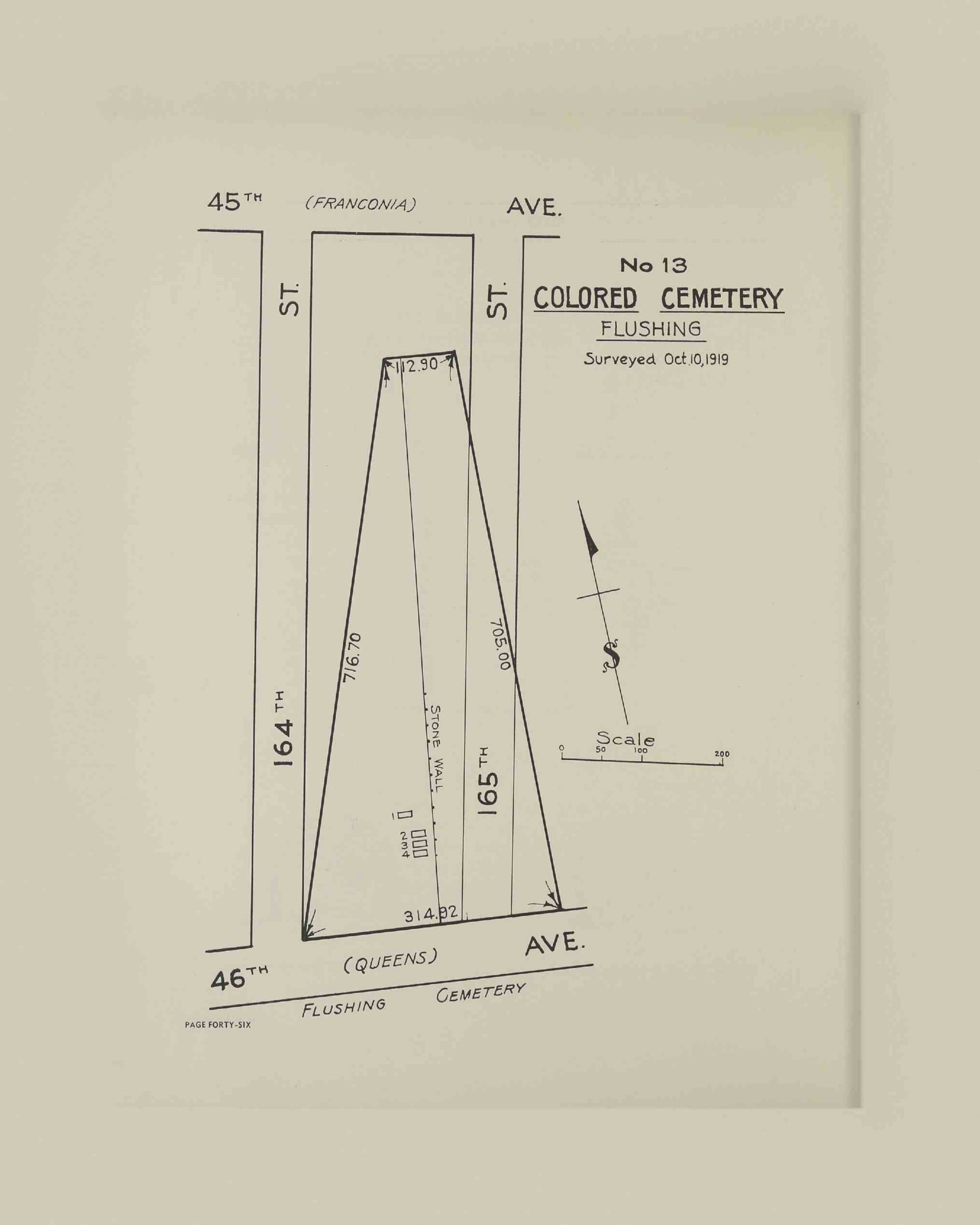
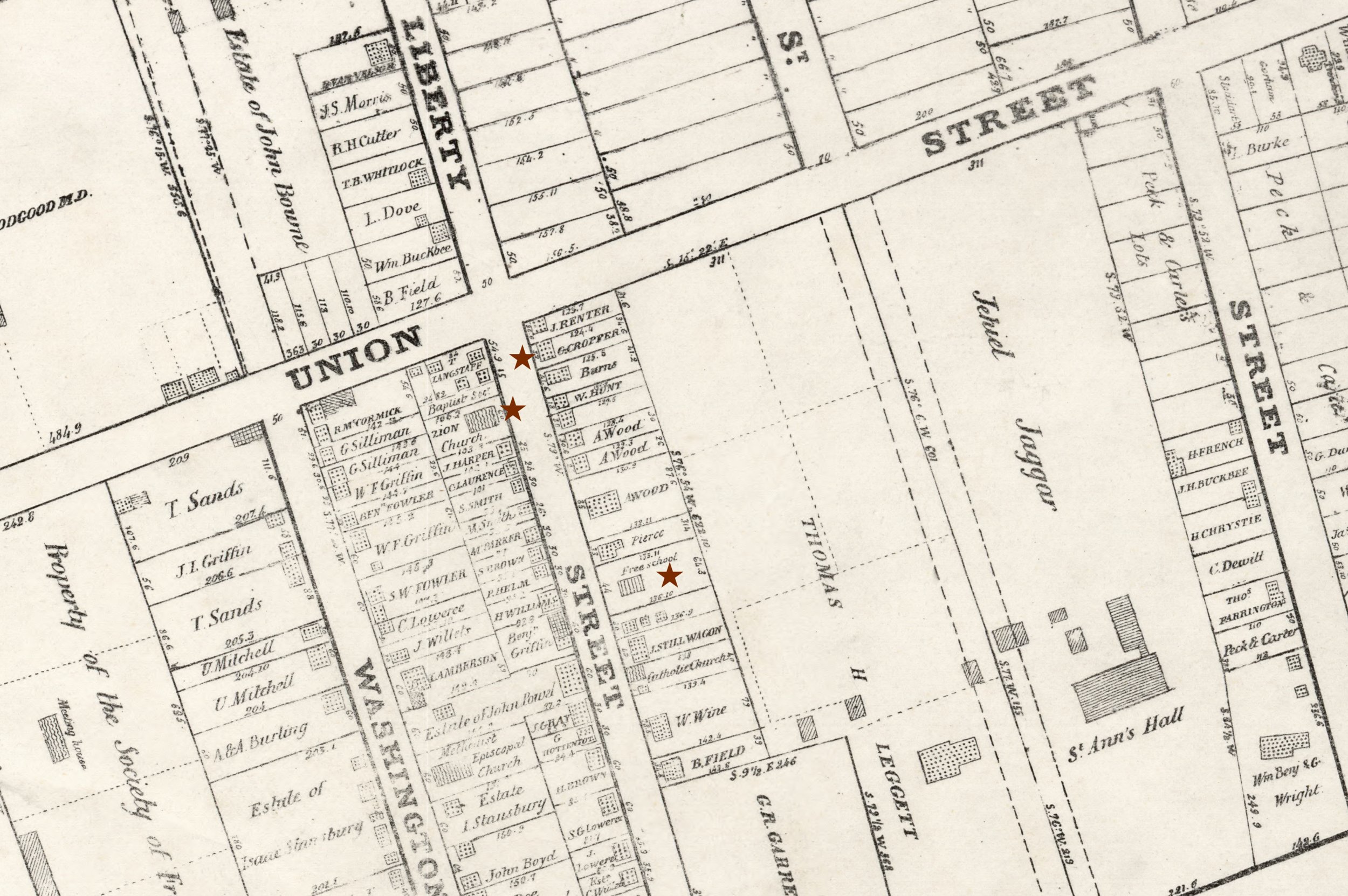
We are also embarking on a second map, African-American and Abolitionist Flushing, that portrays sites in and around Flushing connected to the area’s long-standing Black community and the Abolitionist movement. See the gallery for examples of a few included sites: